Place identified
Kuixinglou Square
魁星楼广场
Linjiangmen, Yuzhong District, Chongqing
The caption asks which floor is ground in Chongqing. Independent place reporting identifies Hugh’s filmed plaza as Kuixinglou.
Municipality
Mountain city, hotpot, Yangtze gateway
Chongqing is a high-impact food and city-form destination, but stairs, hills, spicy food, and airport-to-hotel logistics need extra planning.
Hugh Chongqing · TikTok
The viral walk where an ordinary-looking plaza turns out to be more than twenty floors above another street.
The story, in context
Kuixinglou is not a generic Chongqing viewpoint. The field note is valuable because it shows a real pedestrian failure mode: a bridge and plaza can meet one road while another sits far below. Save 魁星楼广场, check the next destination’s Chinese identity before leaving, and use the video to anticipate elevation rather than to reproduce one camera move.
Keep the places from this story
The source stays attached. Named venues can become places; dishes, moods, and uncertain branches remain part of the story without turning into guessed stops.
Place identified
魁星楼广场
Linjiangmen, Yuzhong District, Chongqing
The caption asks which floor is ground in Chongqing. Independent place reporting identifies Hugh’s filmed plaza as Kuixinglou.
Destination digest
Chongqing is not difficult because it is chaotic; it is difficult because an ordinary two-dimensional map hides the city’s real structure. Streets stack above streets, bridges arrive at upper floors, trains cut through slopes, and a five-minute route can end at the right building on the wrong level.
Use the first daylight hours to understand one Yuzhong slope. Ride Line 2 to Liziba, watch the train from the dedicated platform, then travel rather than walk to a second level-change anchor such as Kuixinglou or the Huangguan escalator. Save the entrance, exit, bridge, or plaza shown in a video—not only the attraction name—and expect AMap’s walking route to need a visual check at the final hundred metres.
Begin around Jiaochangkou and walk down through Shibati while legs and daylight are on your side. Reset with a meal away from the busiest photo streets, then continue toward Jiefangbei, Kuixinglou, and the Jialing river edge. See Hongya Cave after dark from a deliberate exterior viewpoint; entering the complex, photographing its façade, and crossing it as a route are three different tasks.
Take a ferry, rail line, or bridge to change perspective, then commit to one district such as Shapingba and Ciqikou, Nan’an’s hillside streets, or a quieter residential-and-food route outside the Jiefangbei core. Ciqikou is most readable early, before its main commercial lane fills; leave the central strip for side lanes and a tea break. Do not spend the second day reproducing the same skyline shot from six viewpoints.
A creator saying “best hotpot in Chongqing” is evidence for a meal category, not yet a place. Resolve the Chinese storefront name, branch, current address, queue system, broth choice, and whether the restaurant works for a solo diner or dietary restriction. Order a split pot if heat tolerance varies, add cooling and non-spicy dishes, and keep the hotel address ready for the trip home after a late meal.
Jiaochangkou is the practical first base for metro access and walking into Shibati or Jiefangbei. Lianglukou works for transport and a less polished local context. River-view hotels can be dramatic while placing the lobby, taxi drop-off, and metro on different levels, so confirm the Chinese hotel name, road entrance, and nearest usable station exit before booking—not just the straight-line distance.
Three Natural Bridges lies in Wulong District, far beyond central Chongqing. A workable day links the correct departure station, arrival in Wulong, onward transport to Xiannüshan Town or the visitor center, scenic shuttle, substantial walking and stairs, and a protected return. Weather and daylight matter more here than a viral ranking. If any connection is uncertain, stay near Xiannüshan Town rather than compressing the karst between two city nights.
Chongqing clips are unusually good at showing scale, sound, crowd energy, and impossible-looking transitions. They are unusually bad at showing the walking load between cuts. Open the cited place, compare the Chinese identity and district, retain the creator’s warning or context, and reject any route that silently joins two levels or jumps from central Chongqing to Wulong.
Traveler stories
Each story adds a different pace, meal, route, or point of view to the destination.
Hugh Chongqing · TikTok
A useful explanation of why Chongqing’s famous escalator behaves more like hillside public transport than a mall escalator.
The story, in context
The Huangguan escalator makes the mountain city legible because it links Lianglukou with the lower railway-station area. Its value is the connection and the everyday commute—not completing a viral-attraction checklist. Recheck the operating notice and payment on arrival, and do not use an old fare or opening time as if it were permanent.
Keep the places from this story
The source stays attached. Named venues can become places; dishes, moods, and uncertain branches remain part of the story without turning into guessed stops.
Place identified
皇冠大扶梯
Lianglukou, Yuzhong District, Chongqing
The caption explicitly describes Chongqing’s paid escalator. Hugh’s route materials identify it as Huangguan Mountain Escalator.
Bee trip · TikTok
A short-form pairing of central Chongqing at night with the dramatically different Wulong karst day trip.
The story, in context
Hongya Cave and Three Natural Bridges are both valid pins, but they do not belong to one continuous city route. The montage jumps from central Yuzhong to Wulong District. Keep the night landmark in a Chongqing day, then build Wulong around the correct departure, arrival transfer, Xiannüshan Town visitor center, scenic shuttle, walking load, and protected return—or stay overnight.
Keep the places from this story
The source stays attached. Named venues can become places; dishes, moods, and uncertain branches remain part of the story without turning into guessed stops.
Place identified
洪崖洞
Jialing River Road, Yuzhong District, Chongqing
The caption explicitly names Hongyadong as the illuminated mountain-side night district.
Place identified
武隆天生三桥
Xiannüshan Town, Wulong District, Chongqing
The caption explicitly names Wulong and Tian Sheng San Qiao as the natural-stone-bridge day trip.
Chollaaly · TikTok
Behind-the-scenes context for a highly stylized Chongqing motorbike clip, useful for separating the filmed experience from the landmark itself.
The story, in context
The caption supports Hongya Cave as the location, but a staged motorbike sequence does not establish a public ride, safe filming route, or normal price. Use the post to understand how the image was made, then plan Hongya Cave as a pedestrian night stop with a deliberate exterior viewpoint and crowd exit.
Keep the places from this story
The source stays attached. Named venues can become places; dishes, moods, and uncertain branches remain part of the story without turning into guessed stops.
Place identified
洪崖洞
Jialing River Road, Yuzhong District, Chongqing
The caption includes #hongyadong and asks for the filming location and cost.
Next Trip Holiday · TikTok
A promotional city montage retained because it explicitly identifies Hongyadong; commercial framing is shown rather than hidden.
The story, in context
The explicit Hongyadong tag is enough to preserve the place identity, while the promotional pacing is not evidence that the featured city sequence is comfortable or independent. Keep 洪崖洞民俗风貌区 as one evening option, then rebuild the surrounding route using levels, walking load, and the actual interests of the traveler.
Keep the places from this story
The source stays attached. Named venues can become places; dishes, moods, and uncertain branches remain part of the story without turning into guessed stops.
Place identified
洪崖洞
Jialing River Road, Yuzhong District, Chongqing
The caption explicitly includes Hongyadong among the highlighted Chongqing stops.
khaminnsroaming · TikTok
A rare branch-level caption: the creator names Tuntunzai and places it inside Shibati rather than only tagging Chongqing.
The story, in context
The caption is specific enough to keep 豚豚仔(十八梯) as a shop lead inside the restored district. That specificity also prevents a common error: a theme shop does not become the reason to pin the entire historical area, and the district does not prove the shop is still open. Verify the current storefront, then use Shibati as the larger downhill walking route.
Keep the places from this story
The source stays attached. Named venues can become places; dishes, moods, and uncertain branches remain part of the story without turning into guessed stops.
Place identified
豚豚仔(十八梯)
Shibati Traditional Scenic Area, Yuzhong District, Chongqing
The caption explicitly names Tuntunzai and says it is inside Shibati, Chongqing.
Places worth building around
Each place keeps the reason it belongs in the day. Full digests also preserve the local name, exact branch or entrance, and a checked execution query.
Liziba, Yuzhong
李子坝轨道穿楼观景平台
The viewing platform resolves the famous train-through-building shot without sending you to a generic Liziba map center. Watch one or two trains, then use Line 2 itself to understand how rail, road, and river terrace occupy different levels of the same slope.
Treat this as a short transit stop, not a half-day attraction. Save the platform and the station separately in your working notes, and confirm which exit reaches street level before following a video route uphill.
Liziba Main Street below Chongqing Rail Transit Line 2, Yuzhong District
Linjiangmen, Yuzhong
魁星楼广场
This is the usable identity behind the “which floor is ground?” videos: an ordinary plaza connects by high bridge to one street while another road sits far below. The point is the level change, not an invented rooftop attraction.
Open AMap before leaving the plaza and keep the next place’s Chinese name visible. A route that looks like a five-minute walk can put you at the correct longitude on the wrong elevation or side of a building.
Linjiangmen, beside Kuixing Tower and Datang Plaza, Yuzhong District
Lianglukou, Yuzhong
皇冠大扶梯
The long paid escalator is hillside public transport, not a mall novelty. It makes Chongqing’s vertical commute legible and explains why a map distance alone cannot predict effort or arrival level.
Ride it only when it fits the route between Lianglukou and the lower railway-station area. Recheck the operating notice and payment method on arrival; do not build a transfer around a viral clip or an old fare.
Between Lianglukou and Chongqing Railway Station, Yuzhong District
Jialing River waterfront, Yuzhong
洪崖洞民俗风貌区
Hongya Cave is the illuminated hillside commercial and scenic complex seen across countless night videos. Save the official complex, then decide whether you want the interior, the river-level façade, or only a view from across the road; those are different crowd and access decisions.
Arrive before the main lighting crowd or view the façade from outside the busiest interior circulation. It is a contemporary visitor complex with traditional-style architecture, not an untouched ancient neighborhood, so pair it with a different street district for everyday Chongqing.
88 Jialingjiang Binjiang Road, Yuzhong District
Jiaochangkou, Yuzhong
十八梯传统风貌区
Shibati preserves the logic of stepped lanes and upper-to-lower city movement while operating today as a restored visitor district. It is the correct area identity for videos naming a shop inside Shibati, but each restaurant or theme shop still needs its own branch-level pin.
Walk downhill unless knees or weather argue otherwise, and save the exit you want before entering the lane network. Use the district for a slow early or late walk; do not assume every storefront in an older clip still exists.
Between Jiaochangkou and the lower river-facing slope, Yuzhong District
Xiannüshan Town, Wulong District
天生三桥游客中心
Wulong is a separate mountain excursion, not another downtown pin. The visitor-center identity is where the ticket, scenic shuttle, and lower karst route begin to become an executable trip to the Three Natural Bridges.
Plan the city-to-Wulong train or road transfer, the onward ride to Xiannüshan Town, scenic transport, walking load, and last return as one chain. Give it a full day at minimum and consider an overnight rather than trusting a montage that cuts directly from Hongya Cave to the karst.
Xiannüshan Town, Wulong District, Chongqing Municipality
Guide matches
These are the current China Travel Made Easy guides most relevant to planning Chongqing. Start here for the logistics that affect cost, comfort, and avoidable mistakes before the route gets specific.
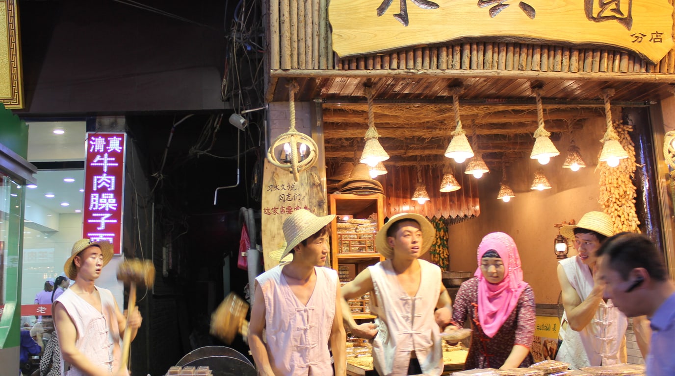
Food
Turn a street-food clip into the right Chinese market, street, or stall — with city-specific routes, bilingual map identities, ordering recovery, and food-safety boundaries.
Updated July 2026
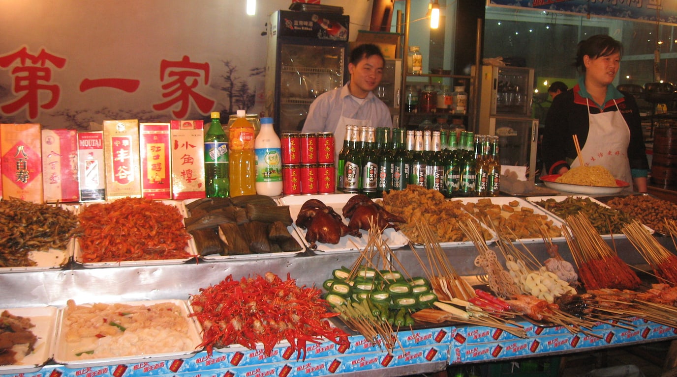
Food
A practical China restaurant workflow — decode QR menus, keep food videos tied to the right branch, communicate vegetarian or allergy needs, and recover when payment or delivery fails.
Updated July 2026
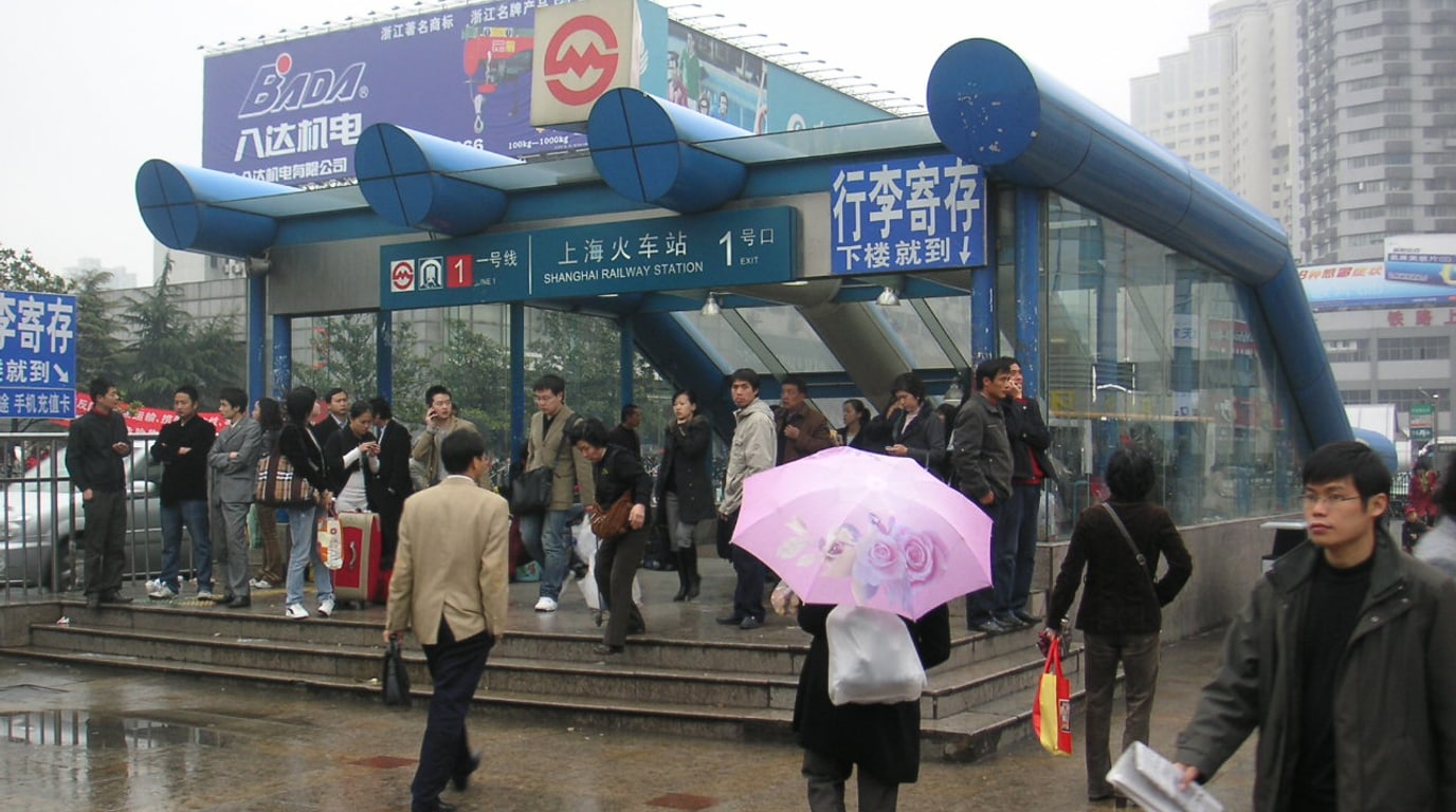
Transport
A provider-aware workflow for turning an English travel tip into the correct Chinese POI, then reaching it by AMap, Didi, metro, or a staffed fallback.
Updated July 2026
Language
A task-by-task language plan for China — set up offline translation, read menus and phone screens, preserve official Chinese place names, and know when an app is not safe enough.
Updated July 2026
Destination QA
Chongqing is best for mountain city, hotpot, Yangtze gateway. Chongqing is a high-impact food and city-form destination, but stairs, hills, spicy food, and airport-to-hotel logistics need extra planning.
Start with Liziba Station viewing platform in Liziba, Yuzhong, Kuixinglou Square in Linjiangmen, Yuzhong, Huangguan Crown Escalator in Lianglukou, Yuzhong, Hongya Cave Folklore Scenic Area in Jialing River waterfront, Yuzhong, Shibati Traditional Scenic Area in Jiaochangkou, Yuzhong, Three Natural Bridges visitor center in Xiannüshan Town, Wulong District. These are useful first pins before adding nearby food, transit, and stay ideas.
Start with China Street Food & Night Markets: City Routes, Stall Evidence & Safer Ordering, Ordering Food in China: QR Menus, Dietary Cards & Delivery Recovery, China Maps, Didi, and Metro: Get the Right Pin, Exit, and Pickup. These guides cover the practical setup and decisions most relevant to this destination.
Yes. Use Save Places to paste the caption, OCR text, note, or place list, then review the bilingual identities before creating AMap or Apple Maps handoffs. A bare social URL is not fetched by the static prototype.
Map profile
Enter an email to keep uploaded lists and collected maps in this browser.